UNDER CONSTRUCTION
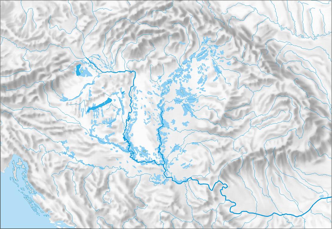
The Carpathian (Pannonian) Basin comprises a topographically discrete lowland region extending across a wide range of modern political boundaries in the southeastern part of Central Europe (roughly between Vienna in the northwest, Zagreb in the southwest, Belgrade in the southeast and Satu Mare in the northeast). Its geographic boundaries are set by the Carpathian Mountains, the Alps, the Dinarides and the Balkan mountains. The rivers Danube and Tisza divide the basin roughly in half. Most of the area consists of the Great Hungarian Plain and Eastern Slovak Lowland in the south and east, and (divided by the Transdanubian Mountains) the Little Hungarian Plain in the northwest.
The highest range within the Carpathians are the Tatras, on the border of Poland and Slovakia, where the highest peaks slightly exceed 2600 meters elevation. The entire Carpathian chain is usually divided into three major parts: the Western Carpathians (Czech Republic, Poland, Slovakia, Hungary), the Eastern Carpathians (SE Poland, eastern Slovakia, Ukraine, Romania), and the Southern Carpathians (Romania).
 |
| Relief map of Carpathian basin |
http://www.eoearth.org/article/Ecoregions_of_Romania?topic=49597
http://www.eoearth.org/article/Ecoregions_of_Bulgaria
No comments:
Post a Comment